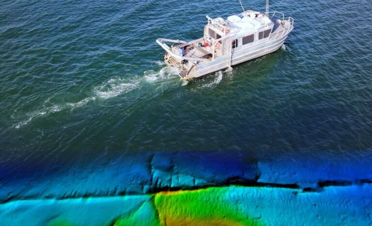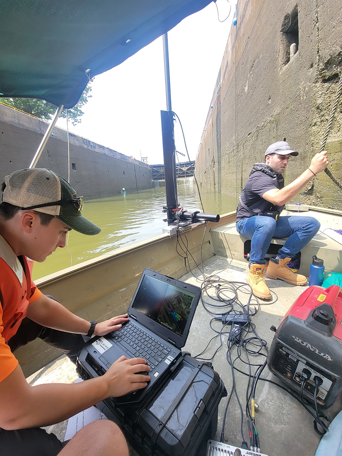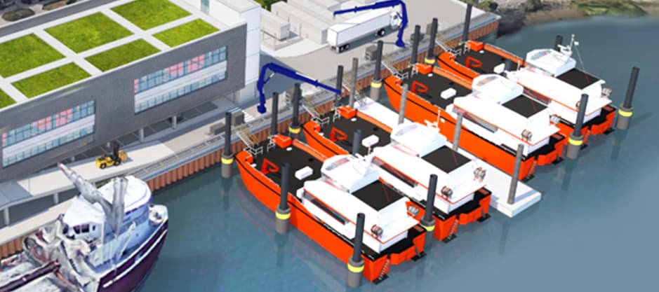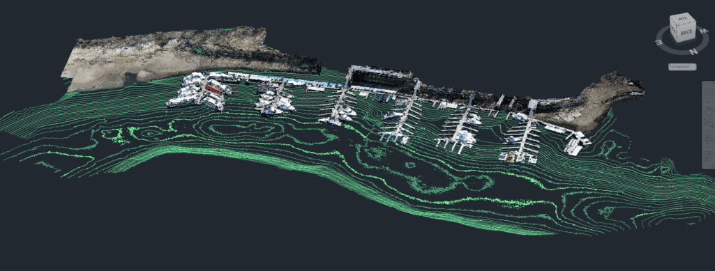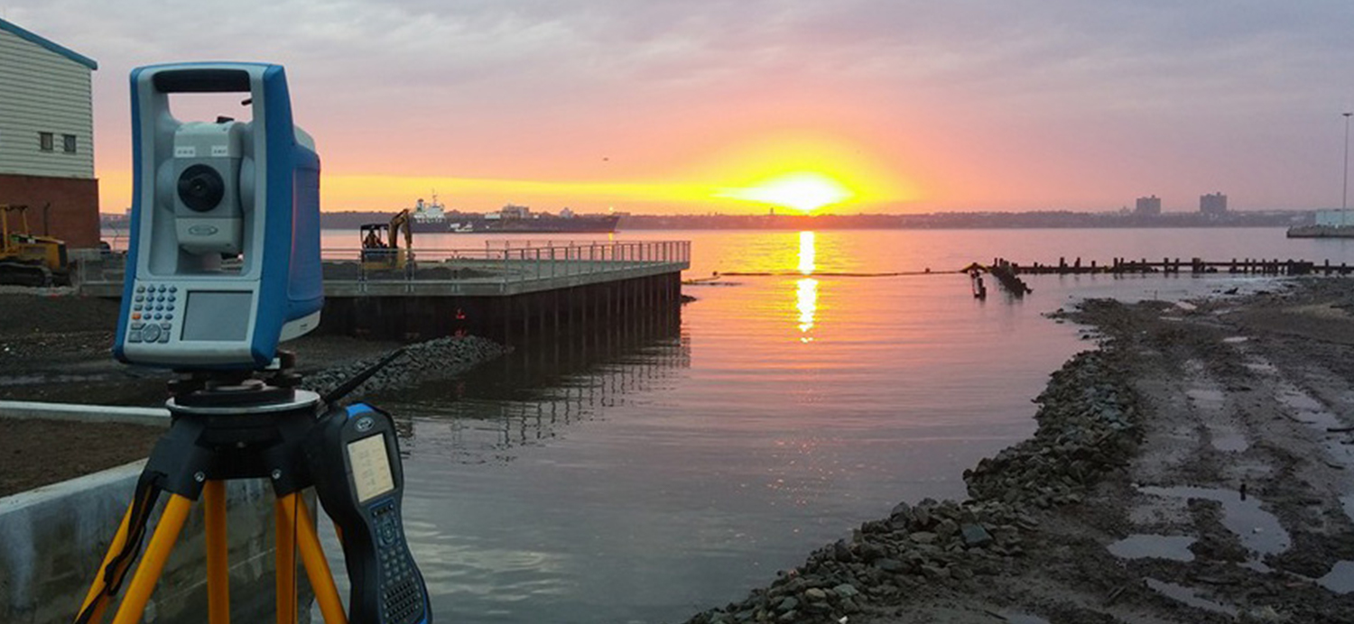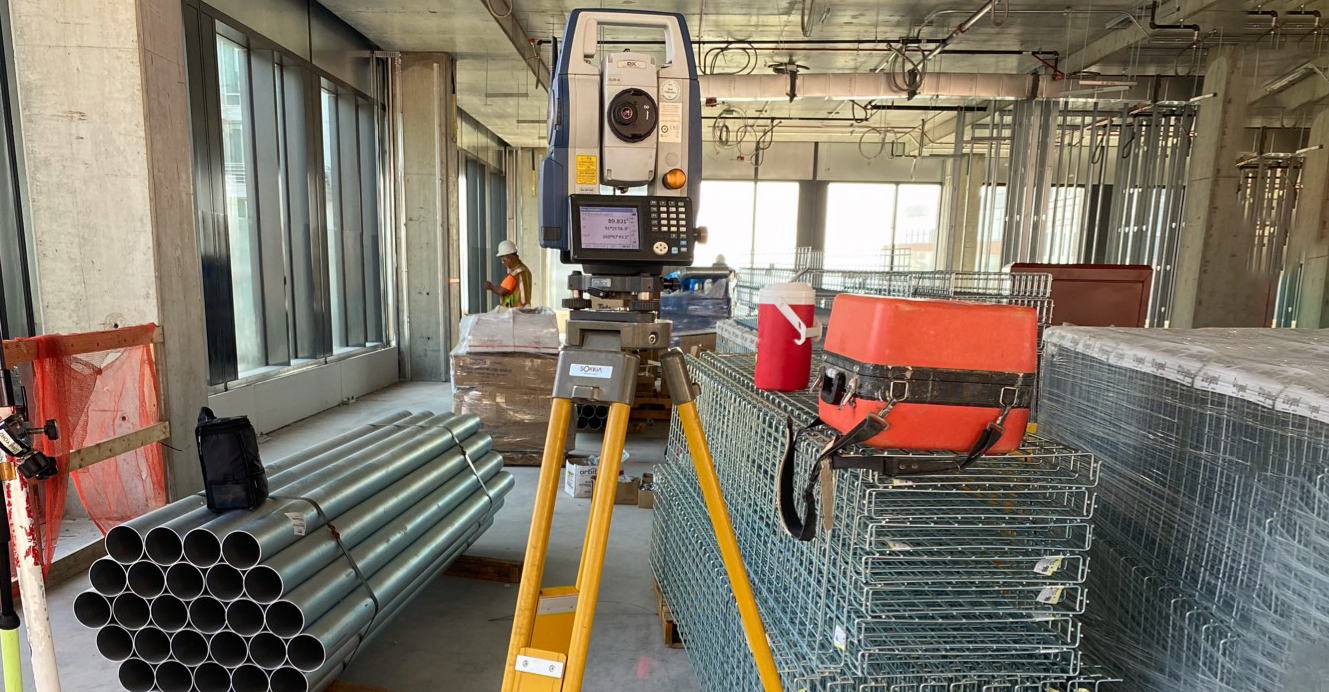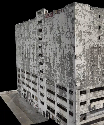


KCI, formerly McLaren Engineering Group, has an in-house hydrographic survey and mapping team that provides the foundational data needed to determine whether a project in or near water is conceptually and physically feasible.
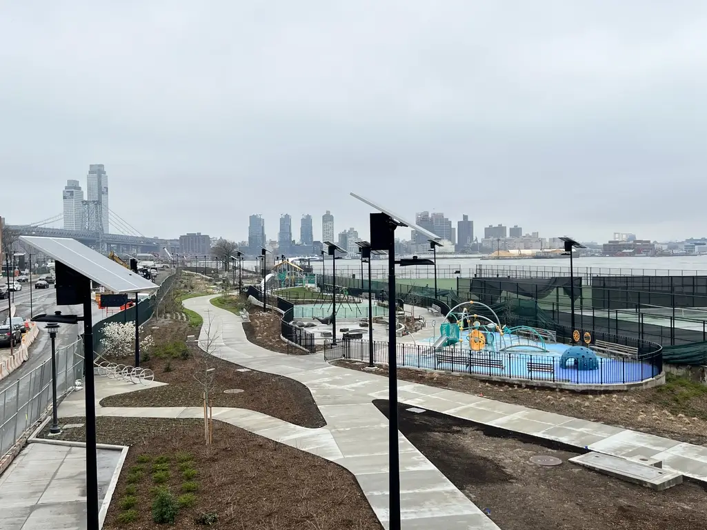
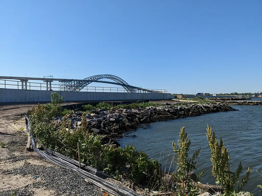
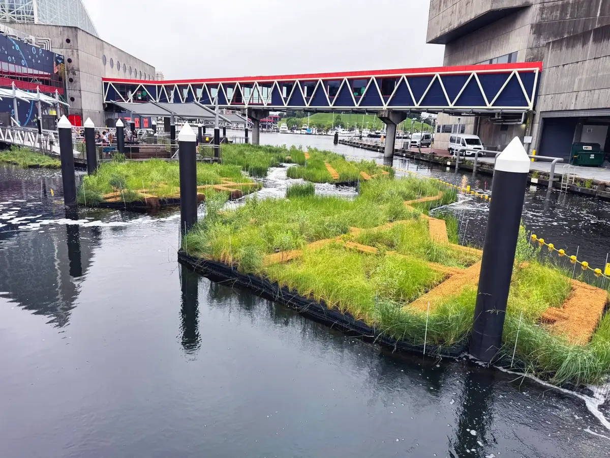
In addition to large offshore or near-shore construction projects, these hydrographic surveys can also be used as analysis for flood inundation, scour and stabilization, cable route mapping, water-quality studies, waterfront facility inspections, habitat mapping, dam removals, and environmental spills.
Underwater Survey + Mapping Services:
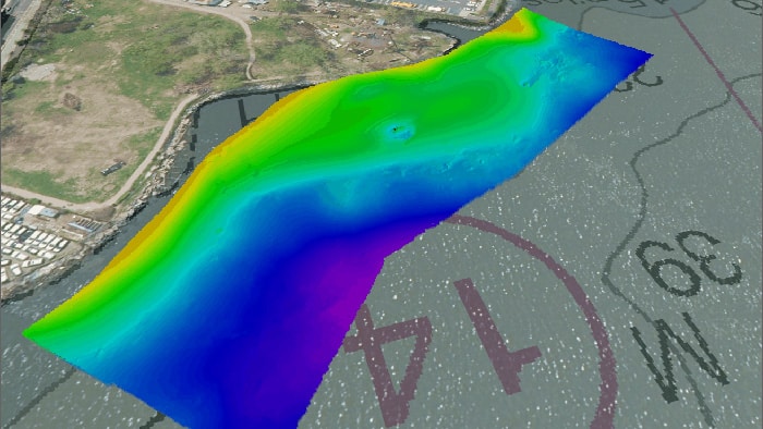
- Multibeam Bathymetry Surveys
- Singlebeam Surveys
- Elevation Contour Maps
- Underwater Infrastructure Inspection and Feature Identification
- Scour and Erosion Identification
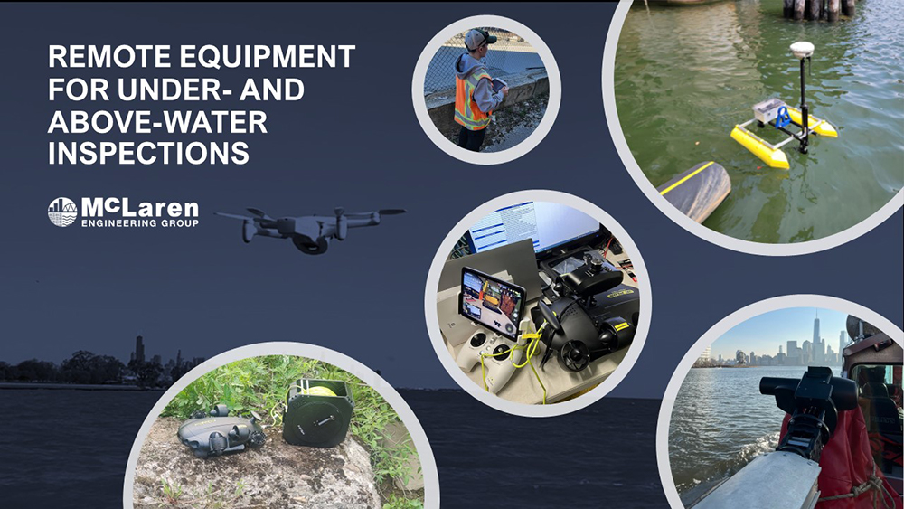
- Underwater Drone ROV (Remotely Operated Vehicle)
- ADCP (Acoustic Doppler Current Profiler) Services
- Pre and Post Construction Dredging Surveys