
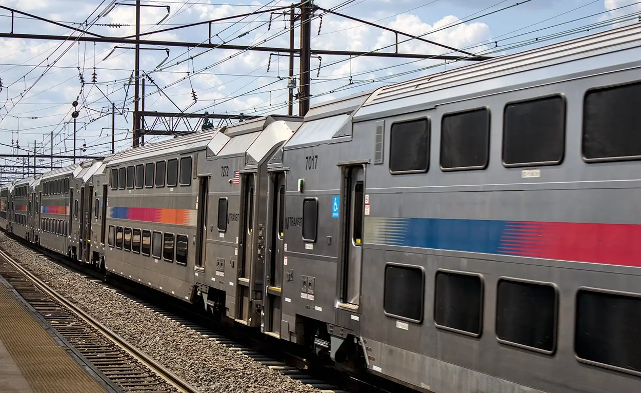
Manhattan Tunnel Project Enhancing Rail Capacity and Reliability
As part of the team our Marine and Construction Engineering teams are delivering...

NYC's Flatiron Building Renovation and Construction Engineering
Our team is supporting the Flatiron Building Renovation, transforming this iconic...
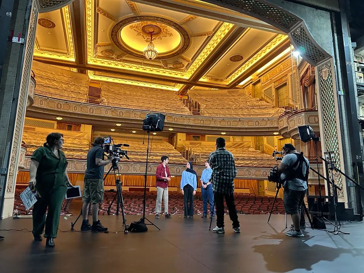
McLaren on CBS Mission Unstoppable Highlighting Women In STEM
A sneak peek behind the scenes filming special segments for the CBS show "Mission...
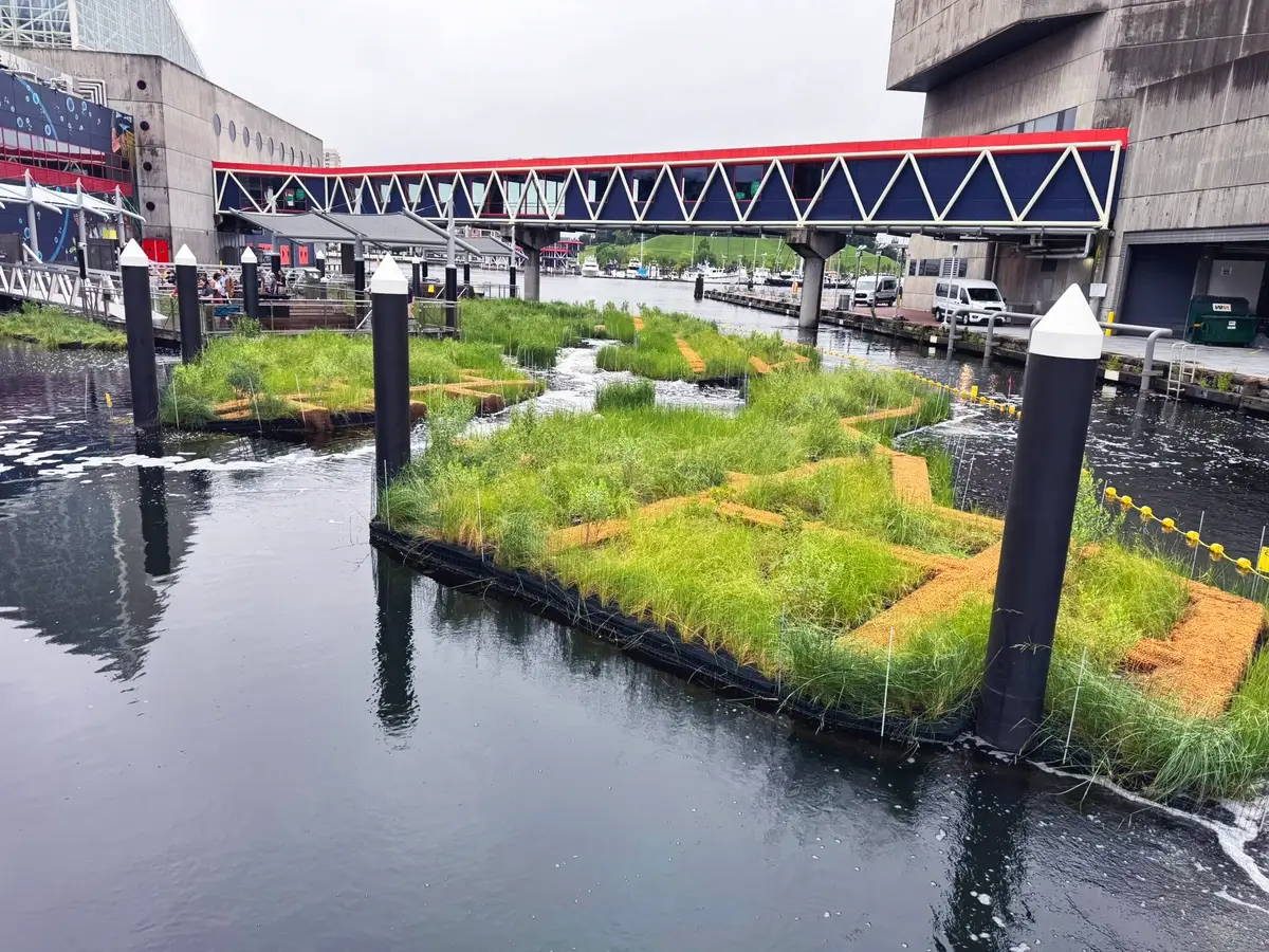
The Floating Wetland Habitat in Baltimore’s Inner Harbor Officially Opens
McLaren Engineering Group played a vital role in this transformative project, applying...
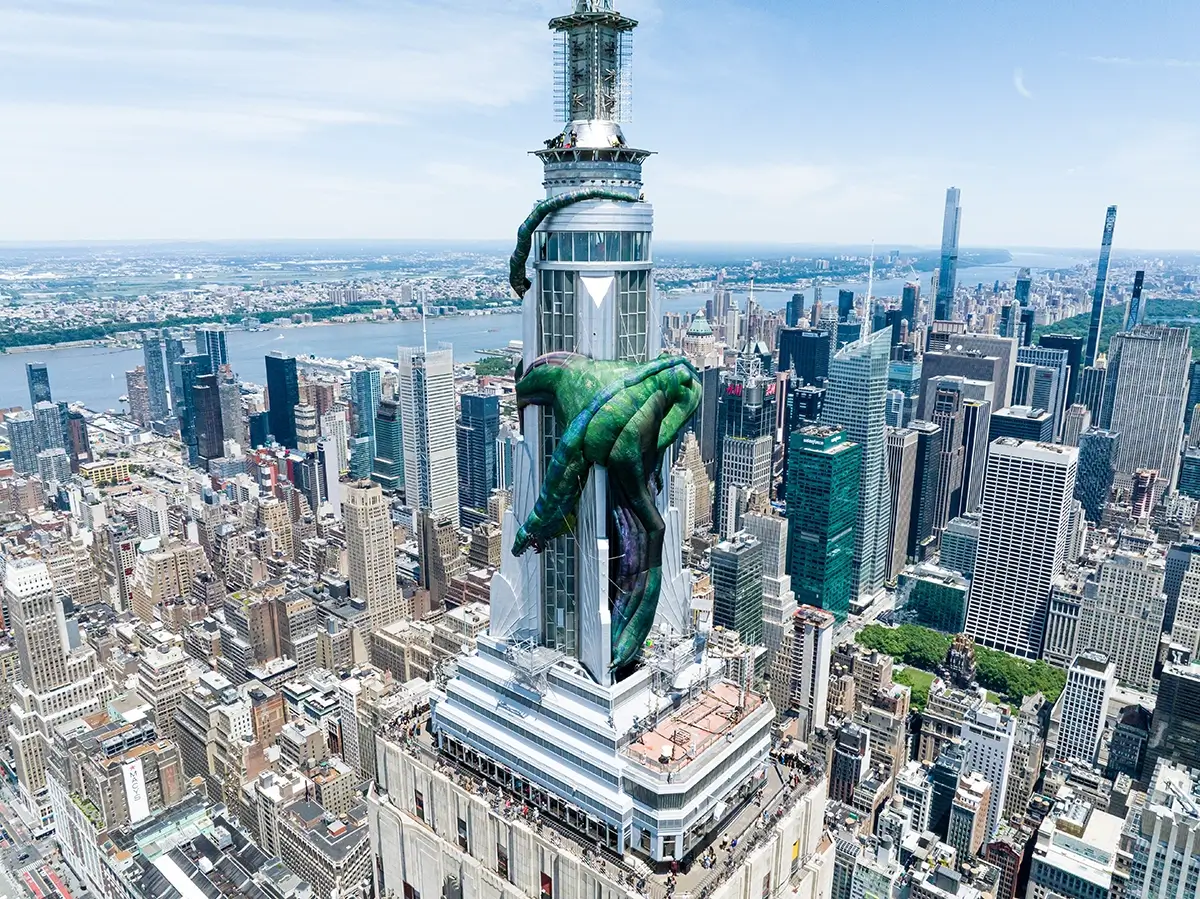
Engineering Feat: Giant Inflatable Dragon Perched on Empire State Building for House of the Dragon Season 2 Premier
Our entertainment engineers helped take HBO’s House of the Dragon Season 2 premier...